Not found
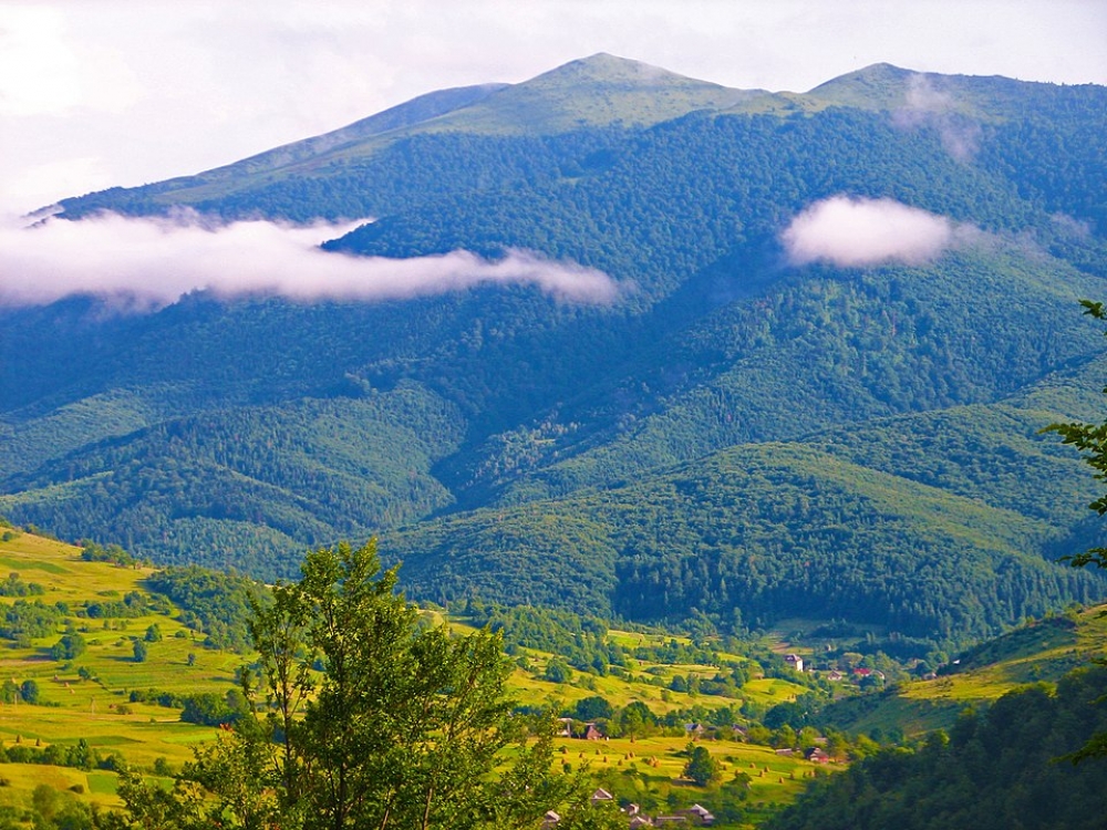
Watershed-Verkhovyna ridge
Route along the Verchovynsky ridge, through the peak of Pikuy
34.7 km
3 days
Level: Amateur
3 days
Level: Amateur
Peaks on the route:
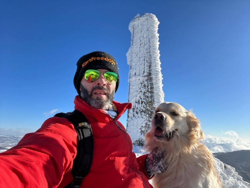
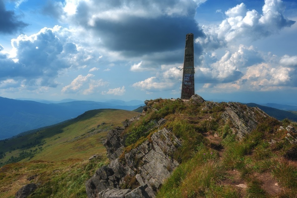
Pikuy
,
Velikiy Verh
,
Zelemeniy
,
Nondah
,
Hostriy Verh
,
Pripir
,
Listkovanya
,
Starostina
,
Zhurovka
,
Behar
,
Drohobitsykiy Kaminy
,
Rozsipanetsy
,
Kinchik Hnilysykiy
,
Blishnya
,
Hrebenich
,
Pereyba
,
Stozhok
,
Kruhla
Interesting on the route:
Кам'яні ворота
,
Джерело гарне, сильне, чисте
,
Джерело з водою на початку маршруту
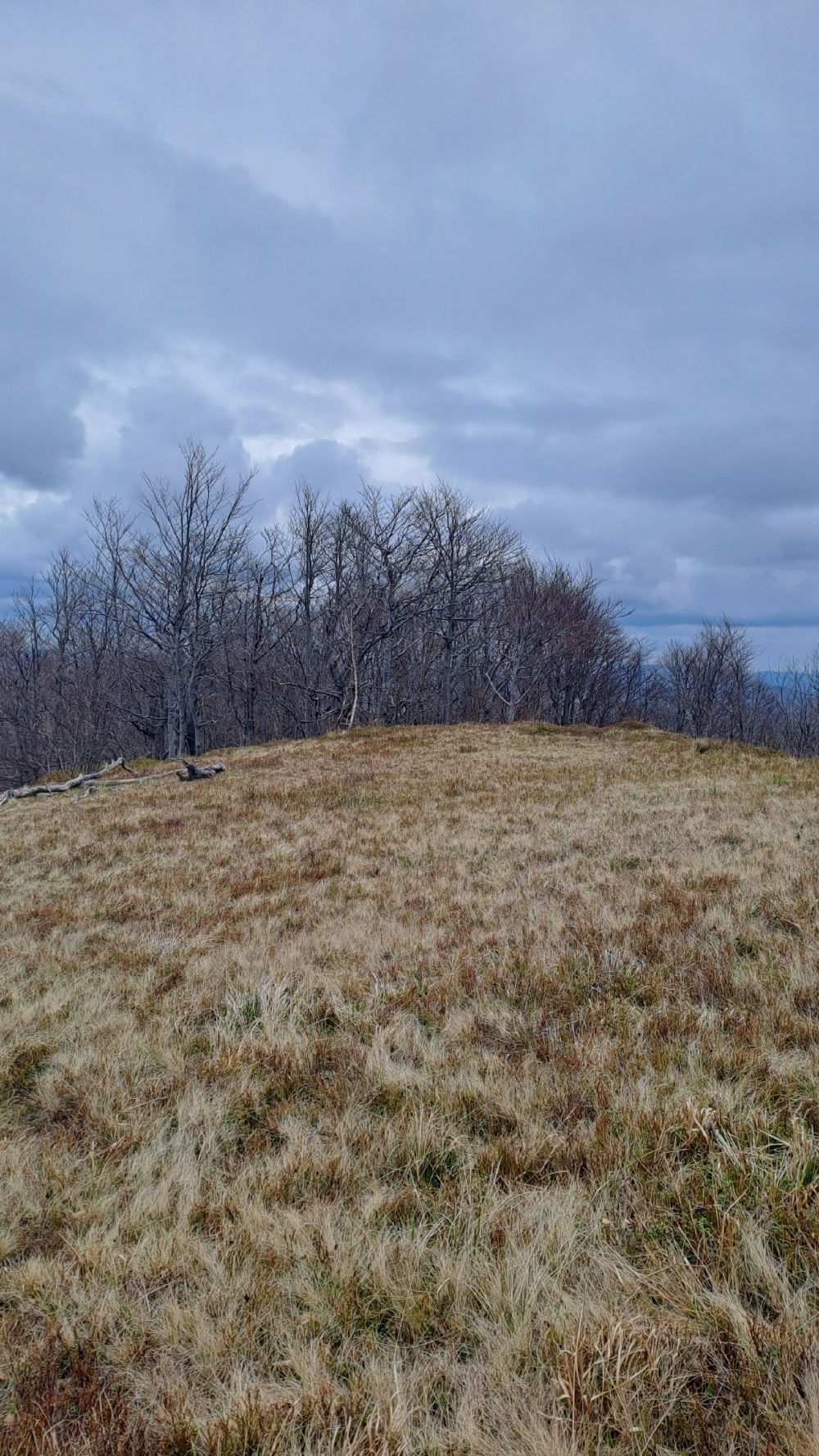
The Verkhovyna watershed is part of the main Carpathian watershed, which marks the administrative border between Transcarpathia and Lviv region.
The ridge is located in the north of the Ukrainian Carpathians and stretches from the Uzhotsky Pass, which is almost on the border with Poland and is one of the most picturesque passes in the Carpathians, to Mount Pikuy, which offers beautiful views.
3D video animation of this route
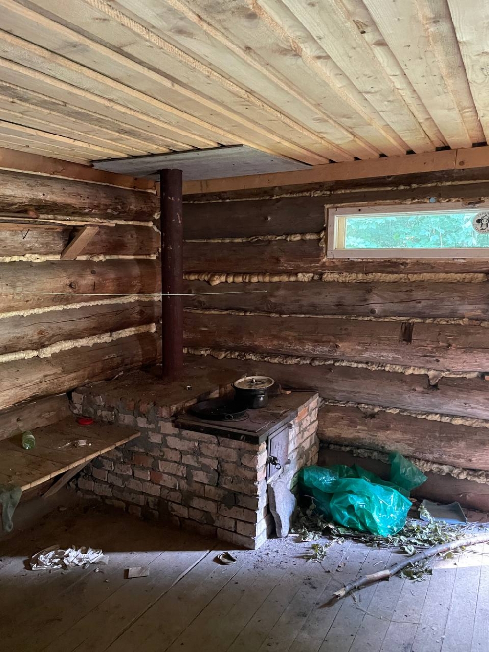
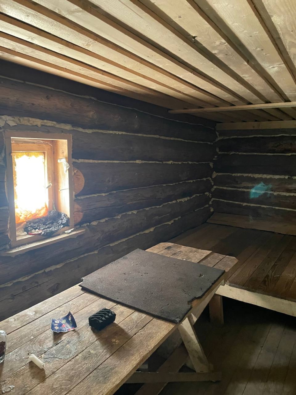
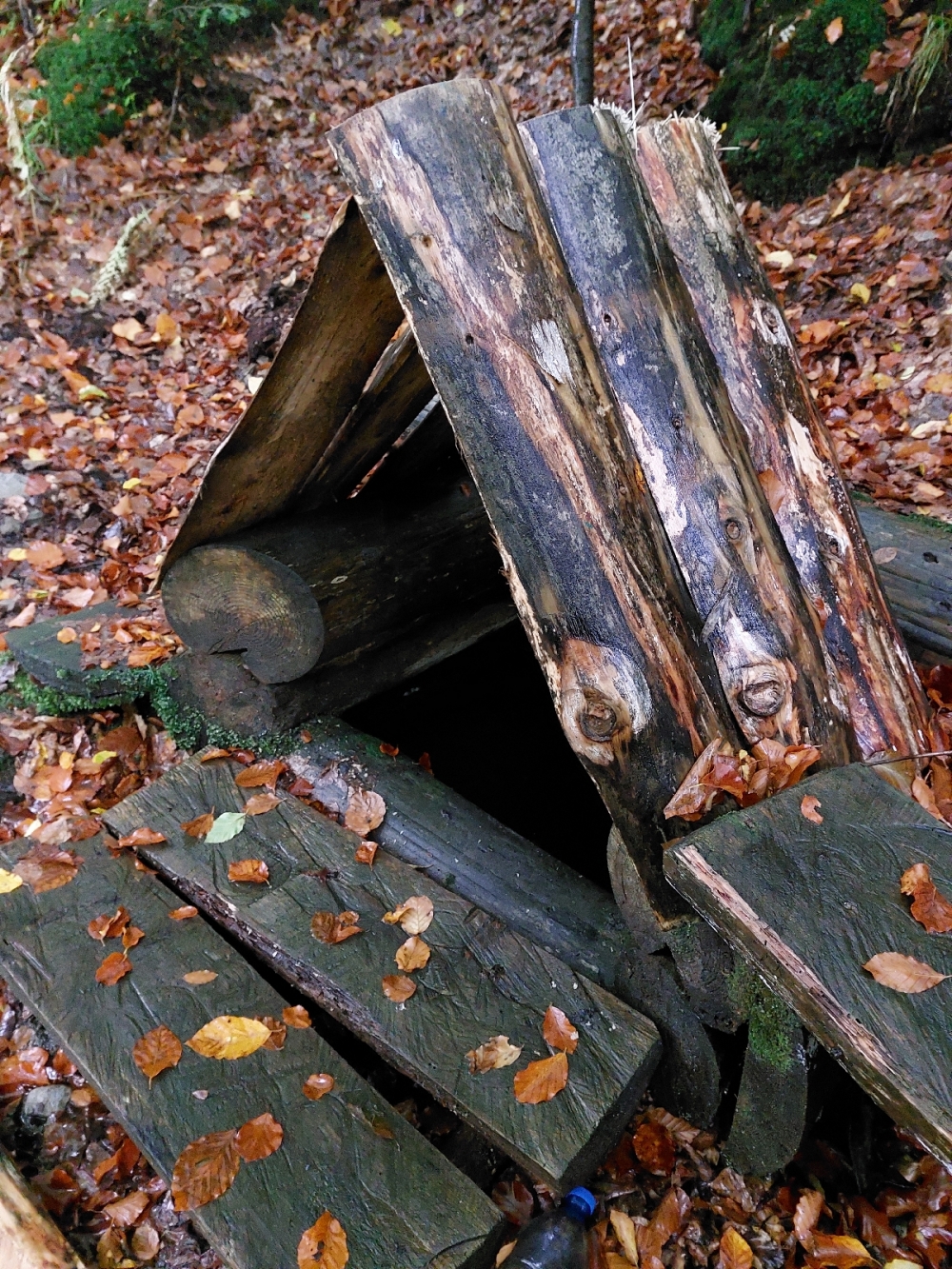
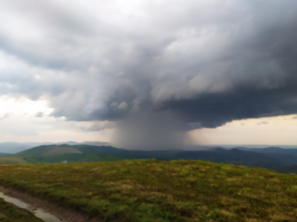
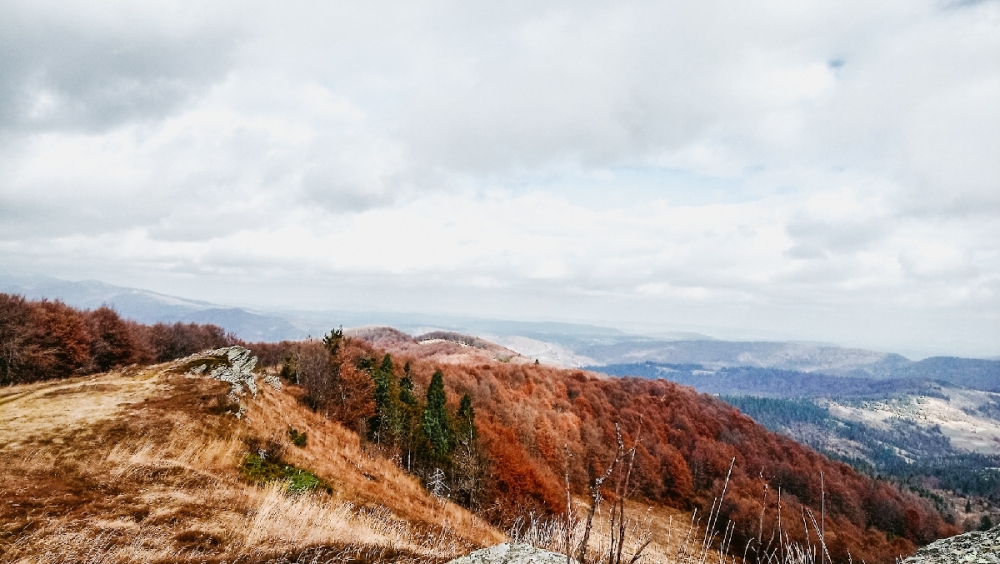
Photo gallery
Comments
Yevhenii Panenko - 2022-01-25 15:39:43

Наш подьем на Пикуй в январе 2022
Наплічник - 2021-11-19 05:44:37
Хребет дуже гарний. Без сильних перепад висот тобто вилізли на хребет і все, йдете♂️
Наплічник - 2021-11-19 05:43:13
Особисто моя оцінка, що 3 дні там гуляти - дуже довго
Ми у березні по снігу за 2 дні з Сянок у Біласовицю ходили